

The steep sandstone ridges and gullies are topped by cliffs, and the park supports heathland, woodland, tall open forest and significant rainforest areas. It is an excellent bushwalking and picnicking area, with spectacular scenery and waterfalls.
Walking tracks
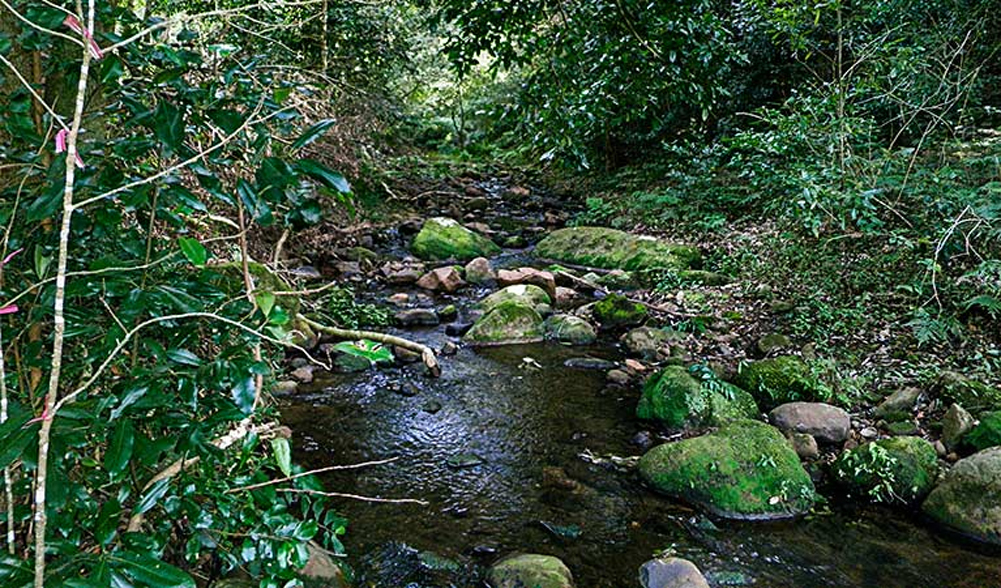
The two kilometre return Cascades Walk starts at the carpark on the northern side of the Illawarra Highway at the foot of Macquarie Pass. It follows the creek for about one kilometre to the Cascades where the water falls 20 metres. It is a delightful easy walk on a fine day and features signs along the way providing information about the park.
For a longer walk, about six kilometres return, try the Clover Hill Road, an old logging trail leading to Rainbow Falls and three smaller falls upstream on the Macquarie Rivulet. This track, unlike the Cascades Walk, is overgrown in places and is only recommended for experienced bushwalkers equipped with a compass.
The Glenview Track leads off Glenview Road, a left-hand turn-off in the middle section of Macquarie Pass when descending. This track is open to walkers only and has several branches which give you the chance to explore other parts of the tall open forest. It crosses a creek that plunges over the Cascades, and you return the way you came.
Picnics and barbecues
A picnic area is provided at the foot of Macquarie Pass on the northern side of the road. There are barbecues at the Cascades and Rivulet picnic areas, which are on opposite sides of the Illawarra highway.
Lookouts
The sheer cliffs and waterfalls of the escarpment provide spectacular scenery. There are panoramic views from a number of locations.
Management tracks in Macquarie Pass are suitable for bicycle riding.
Facilities
- BBQ Facilities
- Picnic Facilities